Boring Log Interpretation
The boring log is the basic record of almost every geotechnical exploration and provides a detailed record of the work performed and the findings of the investigation. The field log should be written or printed legibly, and should be kept as clean as is practical. All appropriate portions of the logs should be completed in the field prior to completion of the field exploration.
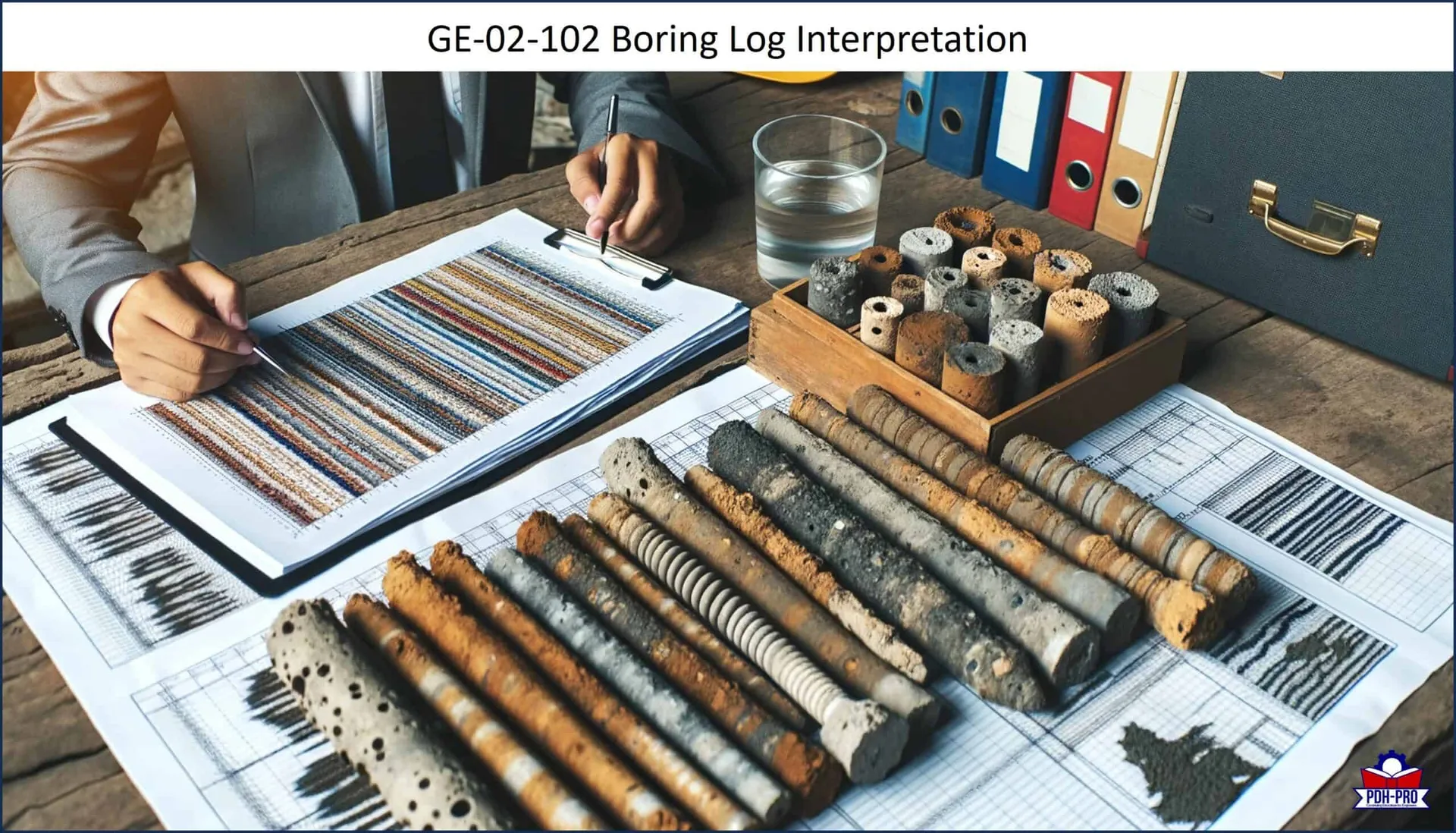
This course presents guidelines for completion of the boring log forms, preparation of soil descriptions and classifications, and preparation of rock descriptions and classifications. It includes examples of various drilling forms used by agencies as well as for a given type of boring. This course provides an overview of items required in boring logs along with a detailed discussion of each one.
Once you complete your course review, you need to take a multiple-choice quiz consisting of fifteen (15) questions to earn 3 PDH credits.
Learning Objectives
This course is intended to provide you with the following specific knowledge and skills:
- Topographic survey data including boring location and surface elevation, and bench mark location and datum, if available.
- An accurate record of any deviation in the planned boring locations.
- Identification of the subsoils and bedrock including density, consistency, color, moisture, structure, geologic origin.
- The depths of the various generalized soil and rock strata encountered.
- Sampler type, depth, penetration, and recovery.
- Sampling resistance in terms of hydraulic pressure or blows per depth of sampler penetration. Size and type of hammer. Height of drop.
- Soil sampling interval and recovery.
- Rock core run numbers, depths & lengths, core recovery, and Rock Quality Designation (RQD).
- Type of drilling operation used to advance and stabilize the hole.
- Comparative resistance to drilling.
- Loss of drilling fluid.
- Water level observations with remarks on possible variations due to tides and river levels.
Download the Course to review and begin earning your PDH credits.
We provide technical courses for PDH credits that meet Board requirements for Professional Engineers, Geologists and Land Surveyors. This course is guaranteed to be accepted in AK, AL, AR, FL, GA, IA, IL, ID, IN, KS, KY, MD, ME, MI, MN, MO, MS, MT, NC, ND, NE, NH, NJ, NM, NV, NY, OH, OK, OR, PA, SC, SD, TN, TX, UT, VA, WI, WV, and WY. Before purchasing this course, please confirm that your state Board is listed above.