Enhanced Geothermal Systems – Imaging and Characterization
Conventional geothermal extraction depends on naturally occurring waters bringing heat from Earth’s interior to the surface. Where available, these conventional geothermal resources provide an attractive base-load power source that can be economically competitive without subsidies. Enhanced geothermal systems (EGS) refer to methods of harvesting energy from the Earth’s crust by passing fluid through a zone of enhanced permeability in rock at depth. The enhancements come from 1) drilling to sufficient depths that high temperatures are reached; 2) creating enough permeability that fluid can be flushed at significant rates through the hot rock to extract the thermal energy; and 3) extracting the energy from the fluid for electricity generation or heating operations.
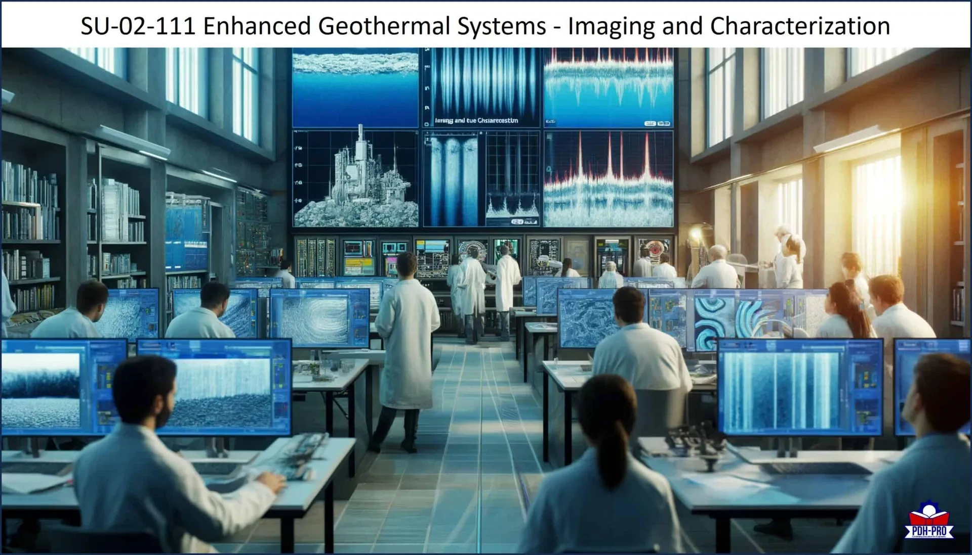
The nature of the subsurface flow network, including its variation in space and time, presents a major technical uncertainty for EGS, affecting heat-recovery factors, production rates and well lifetimes. The ability to identify well sites where the subsurface features will allow rates of water circulation across hot rock sufficient to produce economically valuable rates of water or steam production is a vital part of developing this important energy resource.
This course provides an overview of technologies and approaches for subsurface imaging and characterization of geothermal resources. It reviews the characterization of natural fractures as paths of high permeability, real-time monitoring of stimulation and intervention, and characterization of actual flow paths. It also evaluates microhole drilling for subsurface characterization, including sensor emplacement, well intervention and stimulation, and lateral drilling from production or injection well bores.
Once you complete your course review, you need to take a multiple-choice quiz consisting of fifteen (15) questions to earn 3 PDH credits.
Learning Objectives
This course is intended to provide you with the following specific knowledge and skills:
- Subsurface flow networks
- Induced seismicity
- Existing drilling methods and their limitations
- Potential new assessment techniques
- The state of subsurface imaging technologies
Download the Course to review and begin earning your PDH credits.
We provide technical courses for PDH credits that meet Board requirements for Professional Engineers, Geologists and Land Surveyors. This courses is guaranteed to be accepted in AK, AL, AR, FL, GA, IA, IL, ID, IN, KS, KY, MD, ME, MI, MN, MO, MS, MT, NC, ND, NE, NH, NJ, NM, NV, NY, OH, OK, OR, PA, SC, SD, TN, TX, UT, VA, WI, WV, and WY. Before purchasing this course, please confirm that your state Board is listed above.